Below I have included a lot of photos along the route during the spring and summer seasons.
View Larger Map
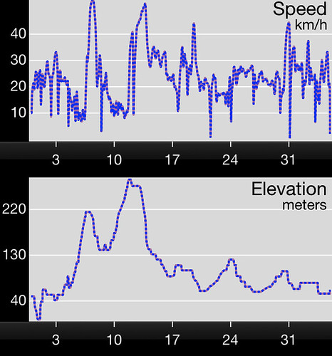
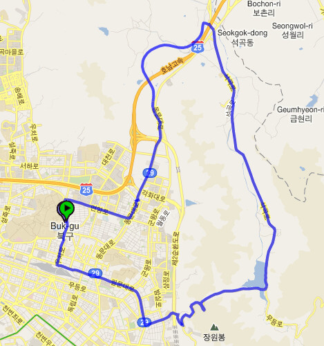
(nb: This route goes anti-clockwise on the map) To kick off the route you head out east. You can follow the 29 road until you reach a 5-way junction.You can see a visible 90 degree turn on the map. Mudeungsan is clearly signposted. From here there is a slow gradual climb until the road starts to twist and turn. Keep following the signs, soon there will be a sharp and very steep left turn. A 7-10 min climb starts here which includes a lot of hairpin bends (switch backs).
The gradients are clearly visible in the elevation graph above.
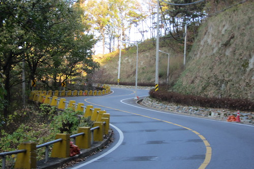
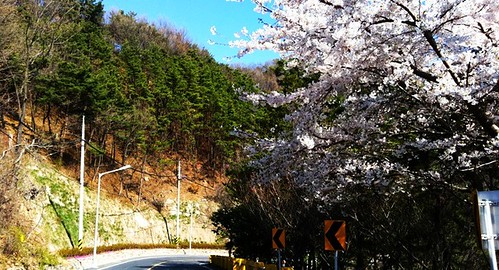
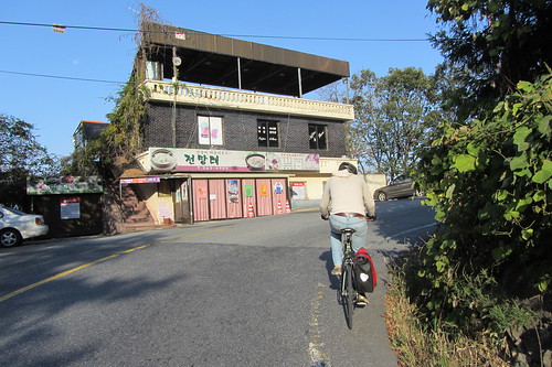
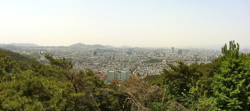
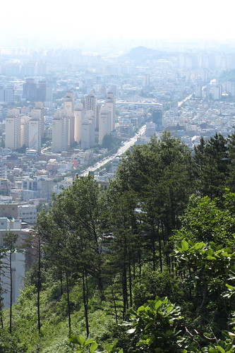
After the first (and the worst) hill you get to a restaurant/rest stop with a really wonderful view of the city. It is a huge city with a population of about 1.5 million.
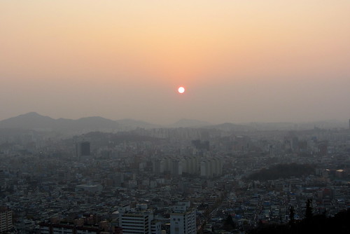
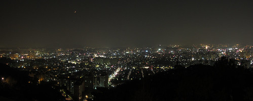
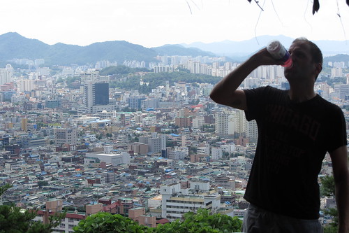
Sean stays hydrated.
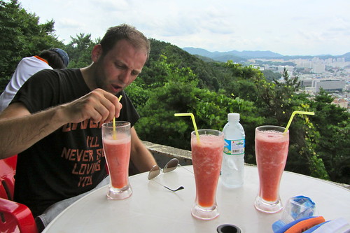
These strawberry smoothies hit the spot in the summer.
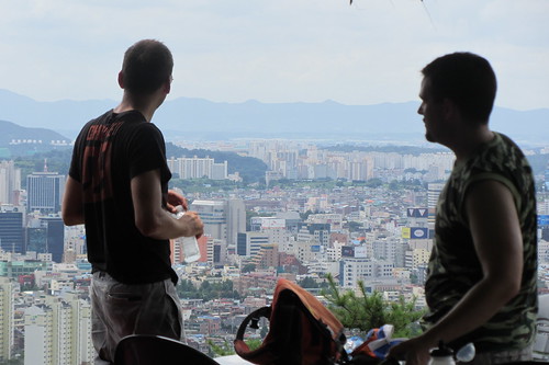
Sean regrets not buying a cammo tank top to fit in with Dan and myself.
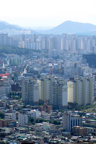 |
Behold the uniform apartment blocks of South Korea, making it difficult to identify the neighbourhoods!
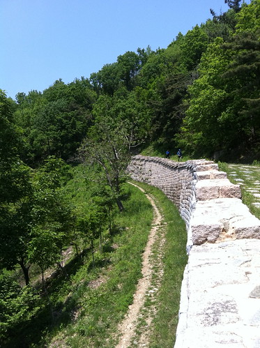
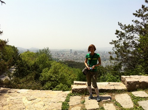
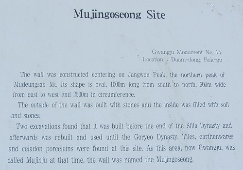
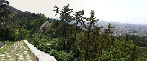
Jenny working the Mujin Wall, or "The Great Wall of Gwangju".
After the wall there is a great descent down towards the first reservoir. It starts off slowly then there's a very sudden and sharp rollercoaster style left turn before you start hurtling off downhill. It makes all the work of the climb worth it. I don't have any photos of this as I'm always enjoying the ride.
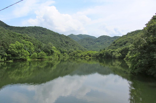
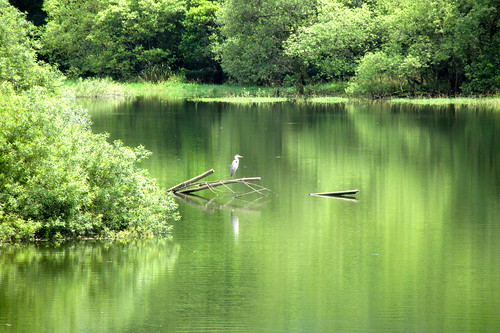
The first lake (reservoir) on the loop as seen from cheongamgyo bridge.
After the first reservoir you will see a rest area. Here you need to take a right turn and follow signs towards Wonhyosa temple.
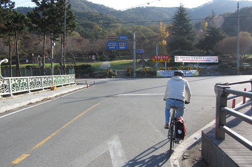
Alternatively turn left at this junction to do a shortened 22km version of the route. Unfortunately it misses out the best part of the ride, but if you're pressed for time, or just lazy, then this is the ticket! Sean and I call it the "Doghouse Route". Why? Because the pair of us were in the doghouse at the time we first tried it out. I like to do this version of the route before work when I need to get out of the city, but don't have the time for the full loop.
|
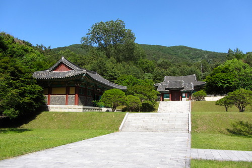
Chungminsa Shrine. It has some interesting things in there...
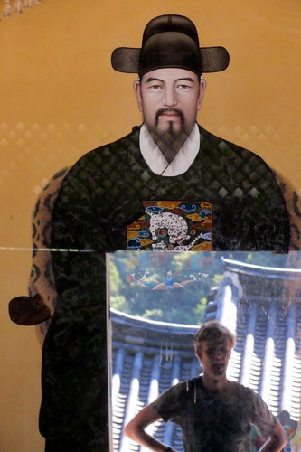
Tim creeping in the reflection.
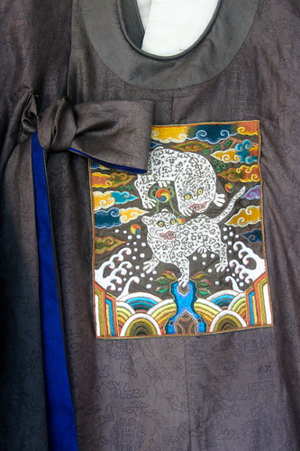
The Chungminsa shrine has some great pieces of armour and clothing on display...
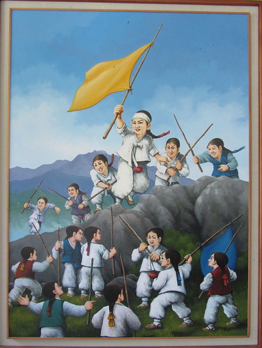
...but this painting takes the biscuit. Look at those little munchkins!
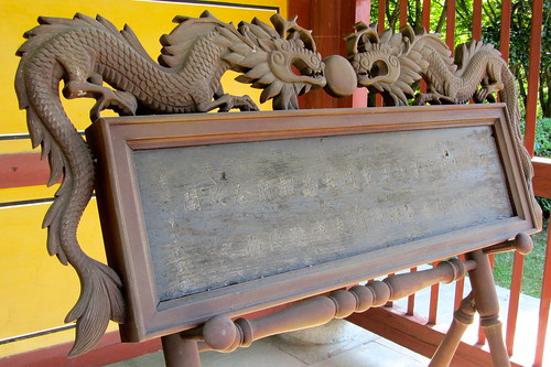
Immediately after Chungminsa Shrine starts the second large climb which is longer but more gradual that the first climb. This climb takes about 15 mins.
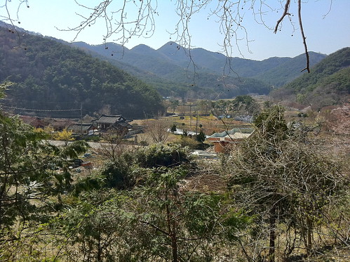
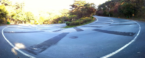
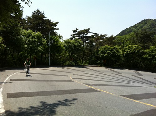
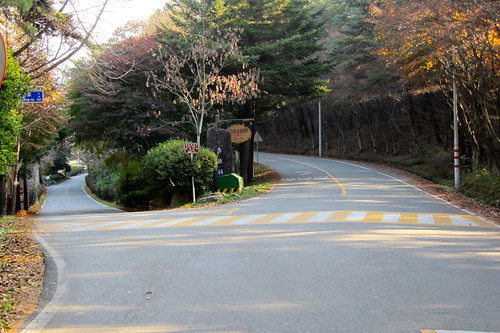
At the top of the climb you will reach a fork in the road. To follow the lake route take a left, or alternatively continue straight and keep climbing to Wonhyosa temple. It's a cliche, but it is such a calm spot. A serene temple that faces Mudeungsan. It is also the beginning of one of the major hiking routes up Mudeungsan.
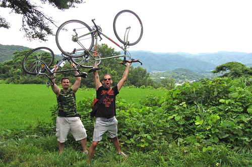
"TOTALLY AWESOME!!!!" Sean and Dan get hyped up about the imminent downhill. If you enjoyed the first downhill this one blows it right out of the water. It's long, you gain a ton of speed and it just keeps on turning. It's definitely one of the highlights of the trip.
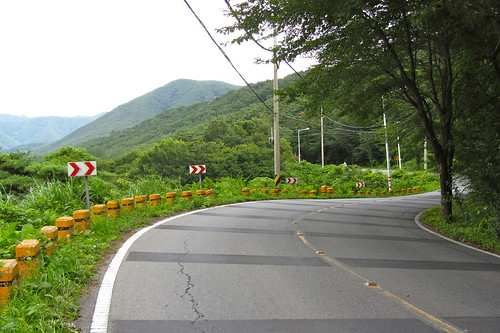
Here we go!
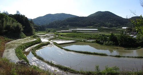
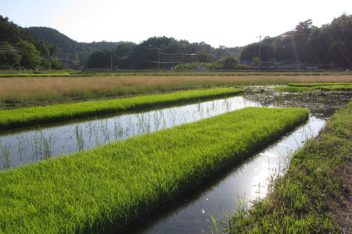
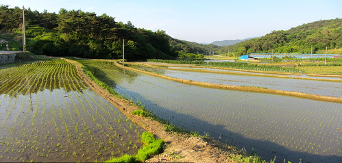
At the bottom of the hill you'll find this cluster of rice paddies which are constantly changing with the seasons. In autumn they are bright yellow, in winter they are dry and brown after the harvest, in spring they are like mirrors reflecting the landscape...
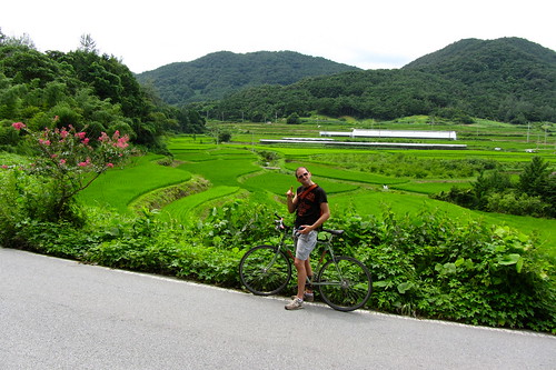
...and in summer they are a lush green. If only they were fields that you could lie in!
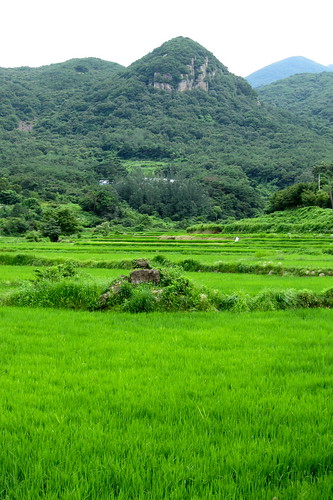
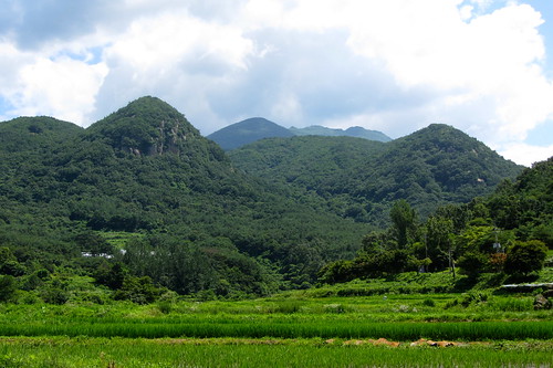
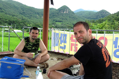
You can find loads of village pagodas/gazebos which make for great spots to drink makkoli!
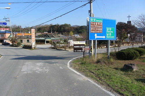
You will come to "Watermelon Village", you can continue straight or take a right here. I prefer to take a right as I think it's a nicer route. Either keep on riding and on either route you will end up meeting road 887. Here you should take a left and follow the road alongside the lake.
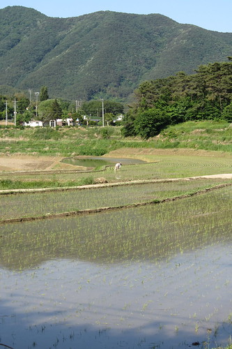
Then finally you get to Gwangju Eco Lake. It's not a natural lake, but it's a superb nonetheless. There are lots of people fishing here, so if that takes your fancy go ahead. Put the fish back though!
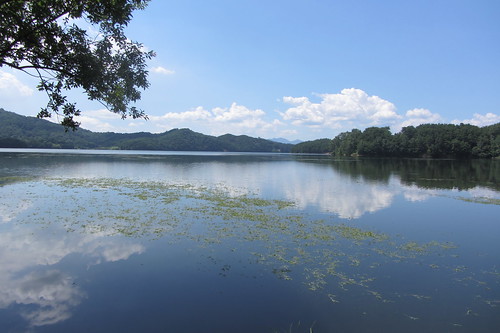
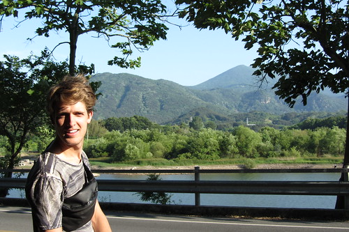
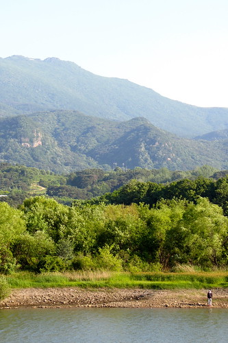
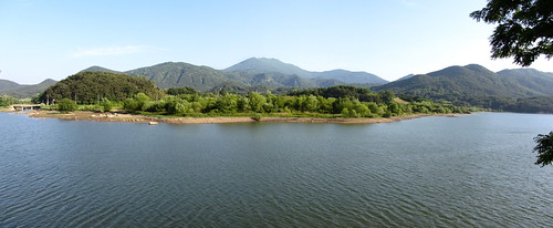
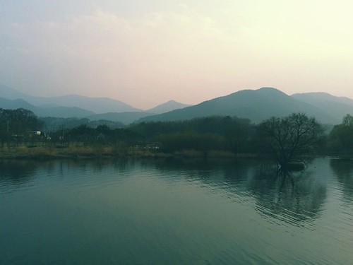
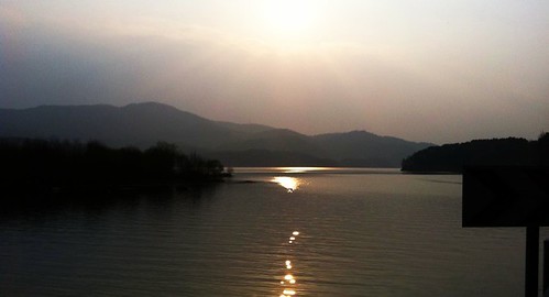
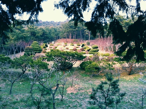
After the dam there are a few bends, you will cross a bridge and the road will become straight and lined with trees. Take a left here and cut across through the small farming village.
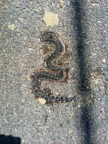
Snakes, the most common roadkill I've seen in Korea. I've never seen one alive though. Not in my entire life.
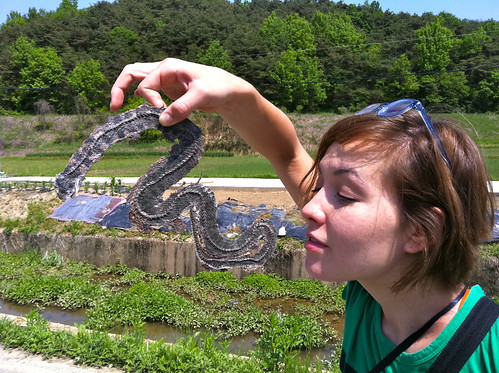
Sun-dried and crispy!
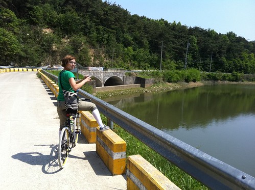
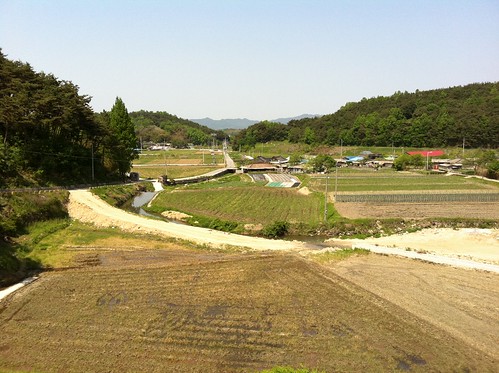
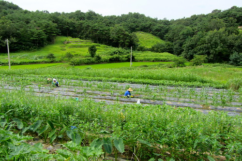
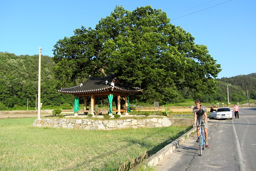
The finest tree/pagoda combo I've ever laid eyes on!
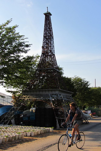
Yes, it's actually in Gwangju. The French stole the idea.
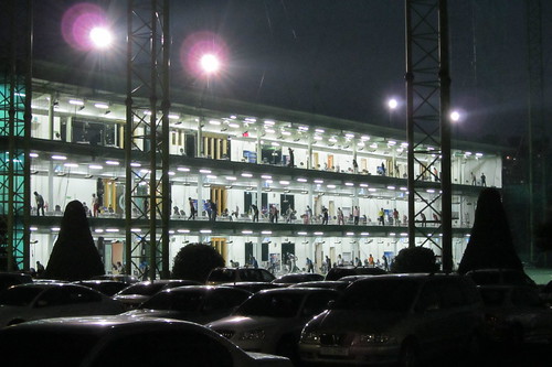
On the way back into town! Triple decker driving range. Don't jump!!!
I'll take some photos of some of the vital junctions and turning points and shall update this page soon.

No comments:
Post a Comment