
Initially Hassan and I had planned to go for a cycle around Gyeongju to cruise around and check out the autumnal foliage. What I hadn't bargained on was how difficult it is to get from Gwangju to Gyeongju on the bus. So we decided to alter our plans and cycle around Boryeong on the west coast. It turns out Boryeong is just as awkward to get to from Gwangju by bus.
"Sod it Hassan, let's cycle to North Korea"
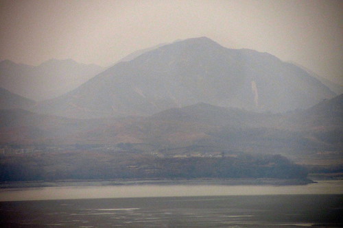
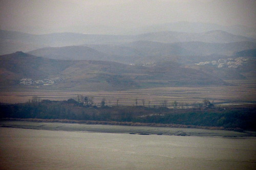
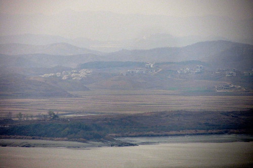
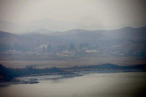
He thought I was joking. How wrong he was. The North Korean border is surprisingly close to Seoul. By taking a car along express way 23 it is merely 48km from Banpo Bridge. In fact, if you follow the course of the Han River it will take you straight to North Korea where it merges with the Imjin River. At that point there is a large hill, Odusan, with an observatory at the top. From here you can peer into the Democratic People's Republic of Korea (DPRK) and see lots of houses, most of them unoccupied as they were built for propaganda purposes in the 1980s.
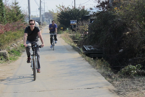
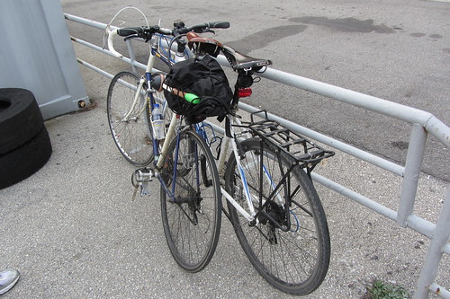
Hassan's flatmate Pete was coming along for the ride as well. In terms of getting to Odusan we had one simple plan; we would head south to Banpo Bridge then head west along the cycle path that runs on the North Bank of the River Han. We would keep heading west until that cycle path stopped. From there we would wing it and try to follow the express way along various farm roads.
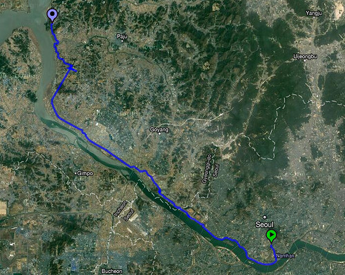
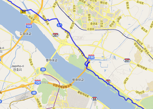
The route we took was 58km in total starting from Kyungridan (Itaewon) and going all the way to Odusan Observatory. (zoom in on google map below)
View Larger Map
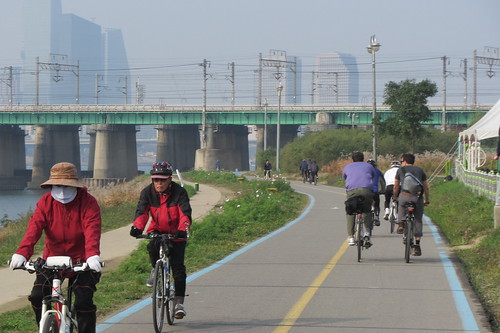
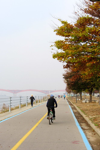
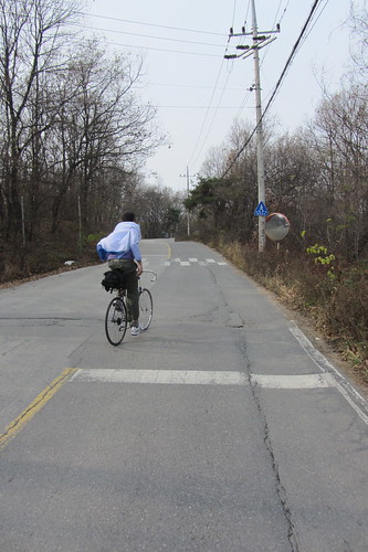
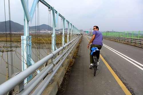
It all starts out like an ordinary cycle along the Han River path, except you just keep on cycling, a little bit like Forrest Gump.
The 63 building on Yeouido.
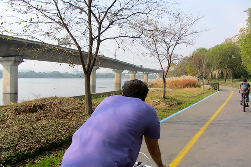
That's an express way on stilts on the left.
The National Assembly, where all the politicians get into brawls.
The weather was sublime! The forecast was decent so we were hoping for a clear view into the communist north.
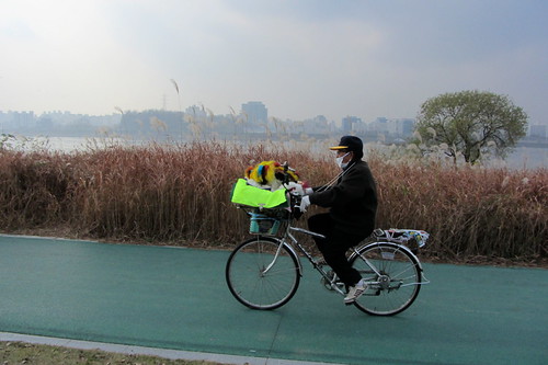
I love this old guy and his rig. He was blasting out trot music. Can you tell what's in his basket?
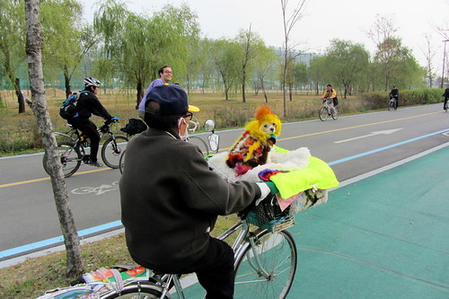
That's right, it's a technicolour dream dog! Yes, that is its real fur. Hassan asked the man how old his dog was. He replied, "I'm 80". I guess we'll never know the dog's age.
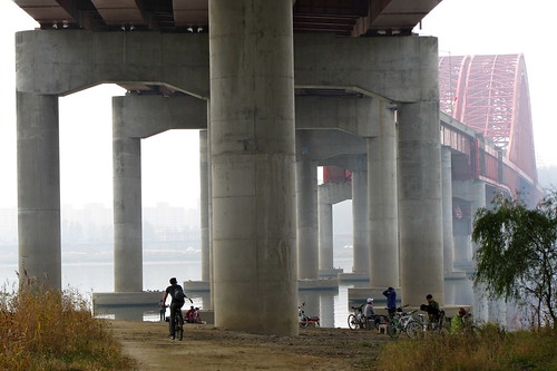
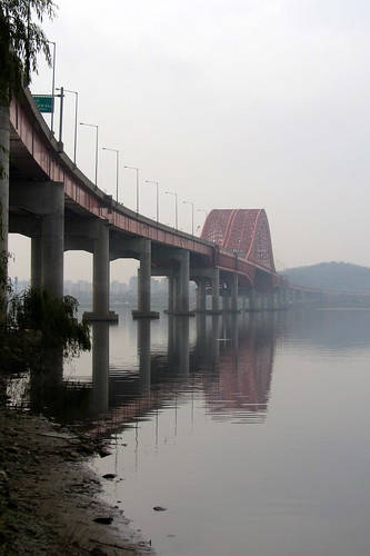
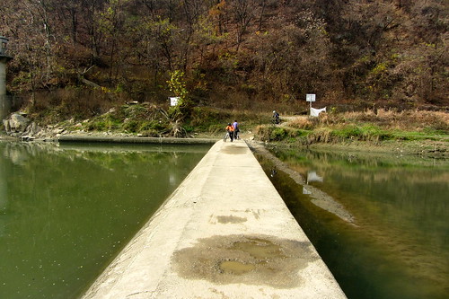
After about 21km of cycling along the Han cycle path we reached the end of the line at Banghwa Bridge. There are loads of old Korean men hanging out here with their bicycles. There's a place that sells some food and a guy selling random bicycle accessories.
After Banghwa bridge the river banks are off limits. There is a high military presence along the Han river so we continued a bit further away.
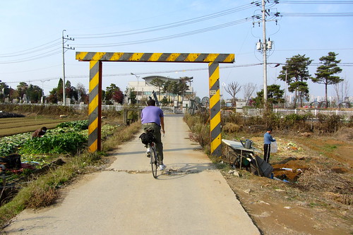
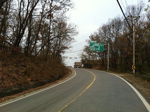
We crossed this bridge here as the cycle path heads inland north east. From here we just followed the express way. There are farm roads running alongside the express ways almost the entire way...
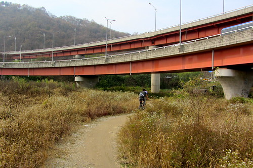
...but first you have to do a little bit of off road.
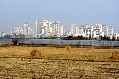
The further you head out of Seoul the more identical the apartment blocks become. There's a common design that rarely gets deviated from.
Way back at the Han River a mini stop mart was giving away free massage devices. They're a lifesaver. There's not much better than tenderising your muscles like a piece of steak after a few hours cycling.
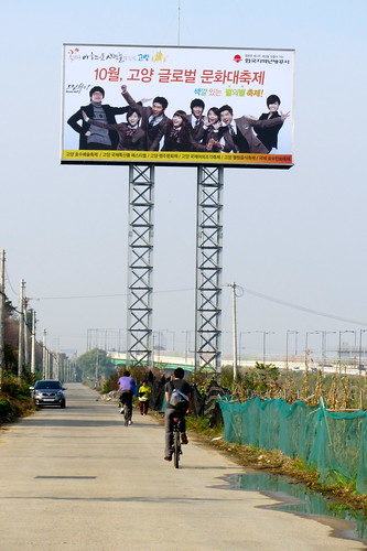
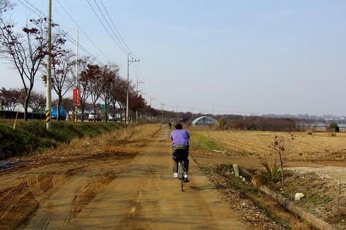
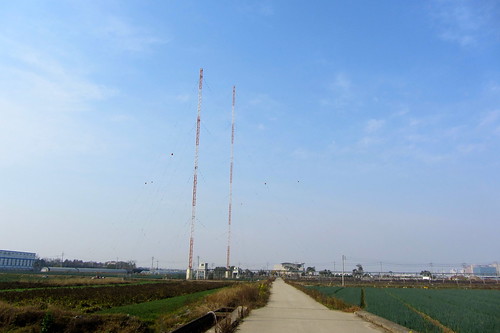
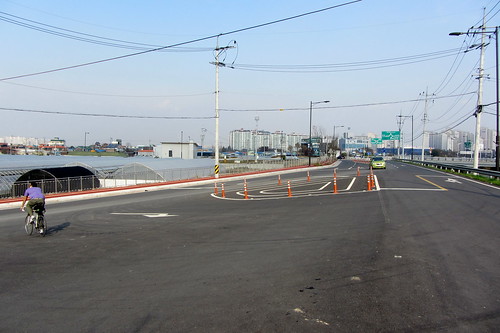
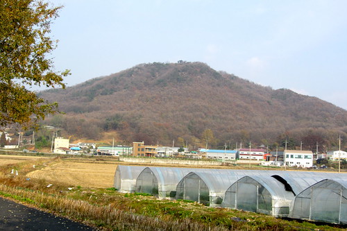
This road ran next to the express way, hence the colossal billboard. There was virtually no traffic on this road.
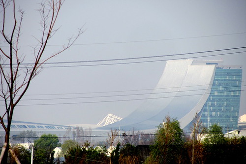
What's that humongous quarter pipe over there?
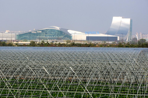
KINTEX, The Korea International Exhibition Hall.
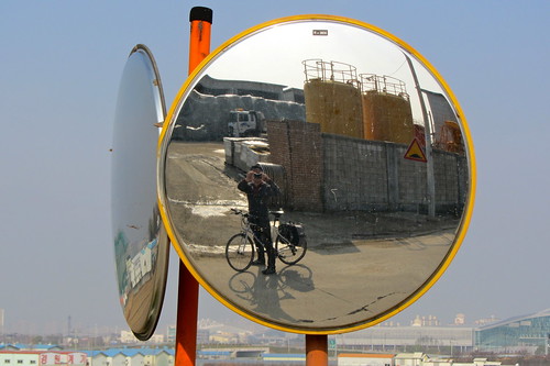
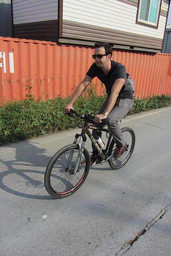
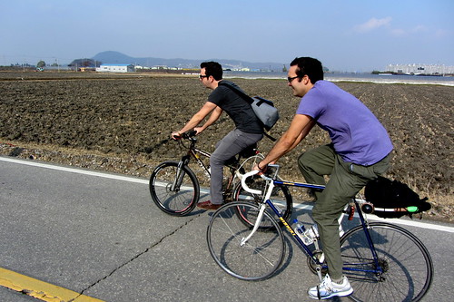
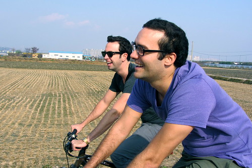
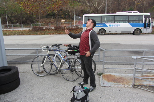
Yours truly.
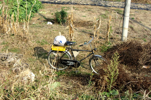
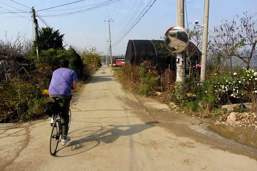
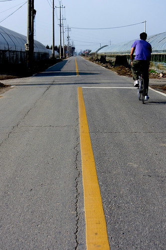
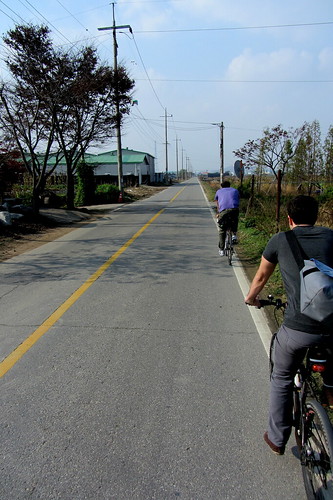
Rural ride.
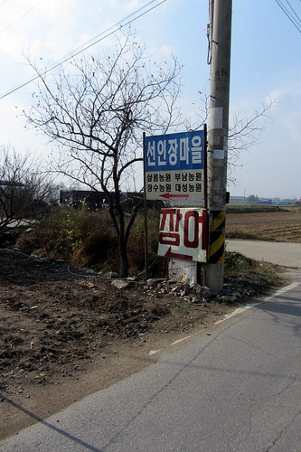
Keep heading north. Go straight. Follow the line.
An odd place to buy eels.
Two guys having a gay old time! That's how my Granny would phrase it anyway.
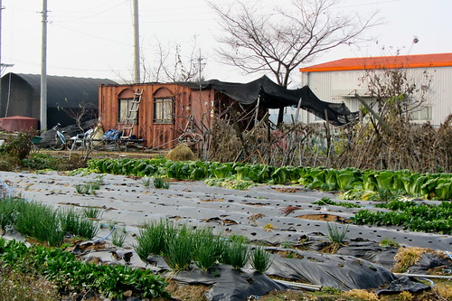
Prime real estate. Get me that hut!
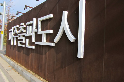
Paju Book City.
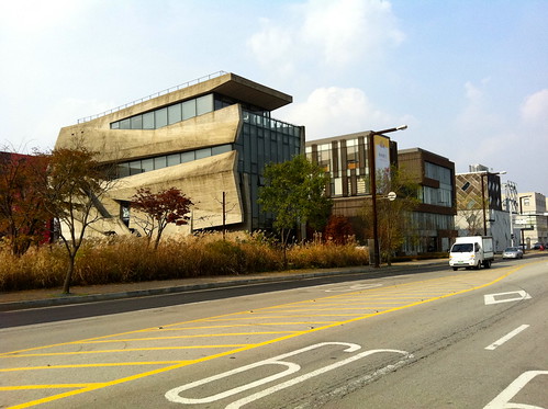
Paju Book City has some interesting buildings which break the monotony of the residential apartments.
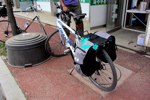
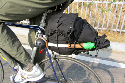
My panniers are starting to disintegrate. This gaffa tape patch up job was completely worthless!
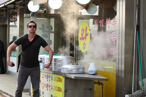
We took a little detour after Paju Book City. We were famished by this point so we took a break at this roadside wang mandu (dumpling) restaurant. I hoovered up all five dumplings in a split second. Pete headed home shortly after this as he was getting sharp pains in his hands.
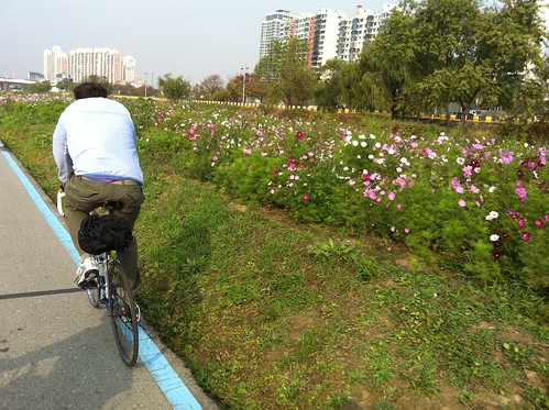
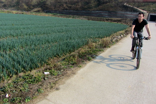
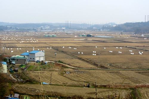
This stretch of road was not a lot of fun, but we soon got onto a side road that took us back to the river. The detour provided us with a bit of elevation so we could get much better views across the farm fields. It's good to have a bit of variation.
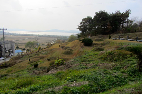
Burial mounds on the hillside overlooking the River Han.
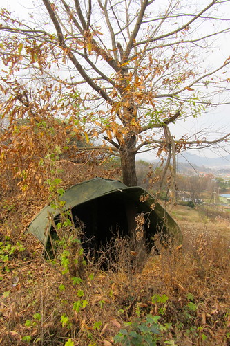
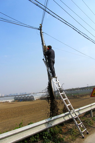
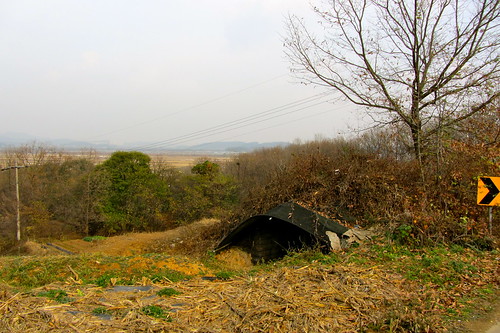
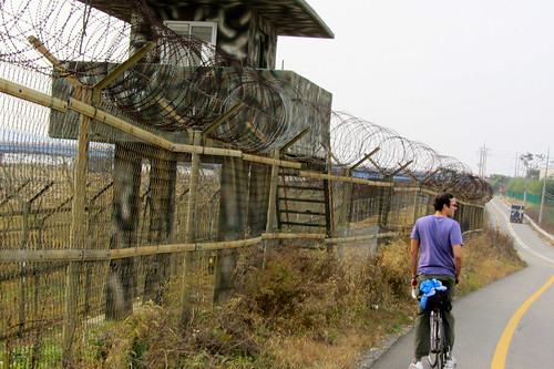
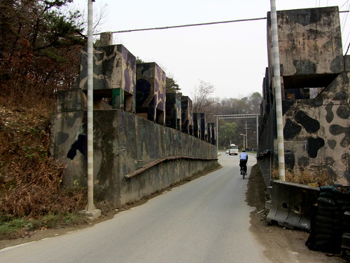
Military bunkers under the trees on the side of the roads. These are quite common in Korea. We saw a lot of the when we cycled from Seoul to Busan.
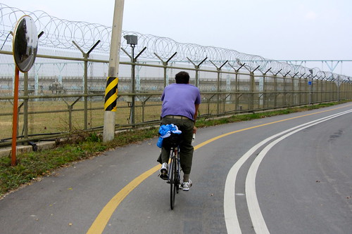
By Songchon bridge we hit the river again and the military presence became immediately apparent. No communists will be coming in this way!
Or this way.
Free air for bikes!
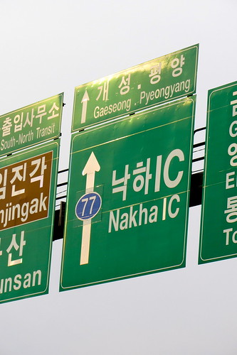
Pyeongyang that way!
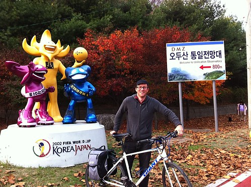
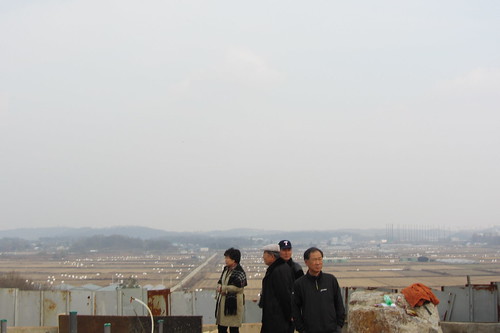
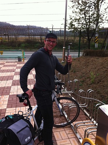
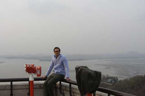
Finally we got there! We wanted to cycle up the hill to the Odusan Observatory, but they wouldn't let us. We had to lock our bikes up in the car park and get the shuttle bus to the top.
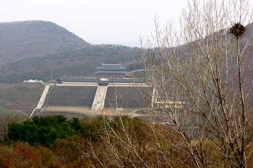
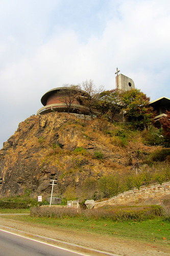
Geomdansa Temple, to the east of the observatory.
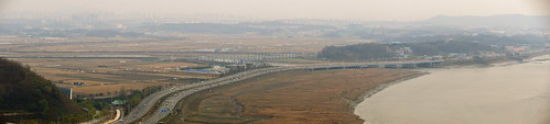
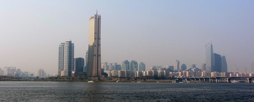
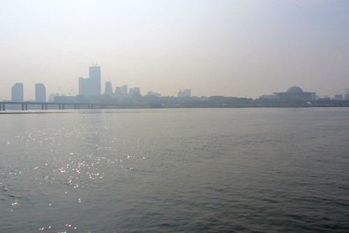
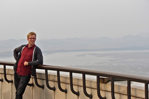
This is the view looking back towards Seoul.
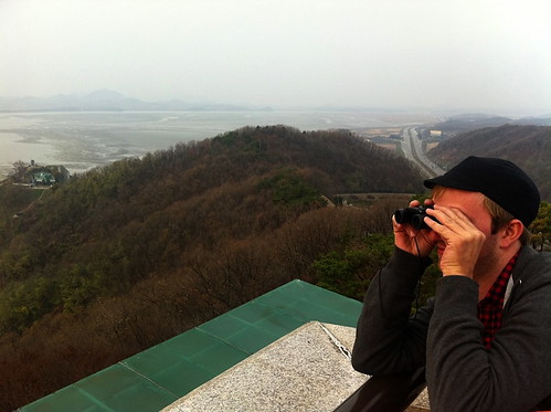
I spy... (I'll be damned if I'm going to pay 500 won to use the observatory binoculars)
Looking north.
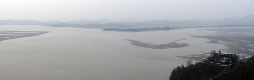
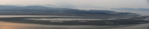
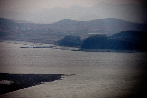
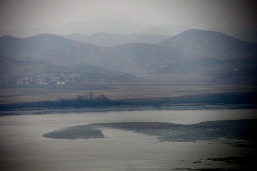
The Imjin River (right) meets the Han River (left). Over yonder you can see North Korea.
South in the foreground, North in the background.
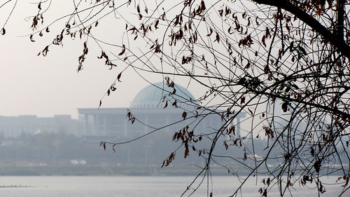
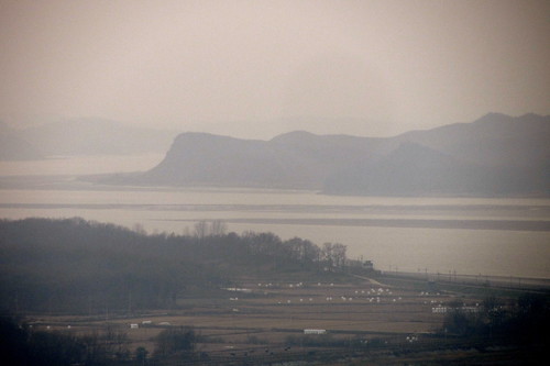
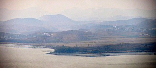
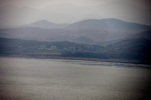
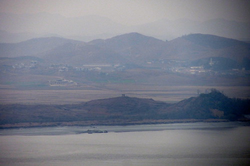
Below are the shots I got of North Korea. They're pretty dreadful quality as it was really hazy and bleak that afternoon. You can see a lot of unoccupied buildings that have been built for propaganda.
Those massage devices come in handy at the end of the day!
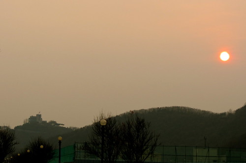
The sun setting over Odusan.
In the event of an invasion these blocks are dropped to stop tanks.
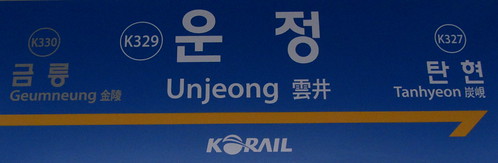
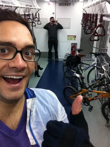
We cycled 11km to Unjeong Station where we caught the train back to Seoul via Digital Media City on the Gyeongui line. From there we transfered onto line 6 and headed back to Noksapyeong. The trains have bike racks on the rear carriage. Woohoo!
The route to Odusan is by no means a stunning route, but it does make for a fun day trip out of Seoul. It's pretty easy to navigate and it's flat almost the entire way. It also sounds ridiculous when you tell people that you rode up to the North Korean border.
We cycled for 58km and spent about 3 hours cycling. We did however take about 1.5 hours worth of breaks along the way. What's the rush?
AWESOME!
ReplyDeleteSounds great, I would love to do this. I don't know if you're even checking back here, but do you have garmin/gps maps for your trips?
ReplyDeleteHey, I don't have any GPS, but I do have it mapped out on google maps...
Deletehttp://j.mp/tGje14
Hope that helps. I'd happily do this route again if you're interested.
Hey Alasdair! Just found your blog and browsing...diggin' it! looks like you've had some adventurous rides round korea..very cool! i'm traveling around for a month (not with a bike sadly) and will be back in seoul beginning of september. would be down to do a ride with ya if you have an extra bike ;)! i'm an avid cyclist back home in L.A. and have done a bit of touring. anyway, cheers and thanks for the cool bikey blog!
ReplyDelete-ryan
my old travel blog is backpacknomadic dot com...hasn't been updated in ages tho as i got locked out when i was living in china
Hi Ryan. Cheers for getting in touch. I'm actually leaving Korea this month after 4 years of living here. I'm travelling South East Asia for 3 months before heading back to the UK for a while. Where will you be living in Korea? If you want some people to ride with in Gwangju or Seoul, let me know!
DeleteHi Alasdair, I tried the link the map but it doesn't seem to work, I would love to be able to do this route. Could I trouble you to help?
ReplyDeleteMerissa
Hi Merissa. I don't have the file anymore. However it is really well signposted these days. Just head west along the river and follow the signposts to Imjingak. It's super easy and impossible to get lost.
DeleteHi!
ReplyDeleteIt seems that the gpx file link has expired or something like that. Could you please to update it if possible?
Wow. Just read the answer above. Thank you! :-)
ReplyDeleteHey awesome blog post! I did this trip a little while ago and really had a great time after reading your post. It was a great idea and my friends had a great time.
ReplyDeletehttp://www.talentedexplorer.com/riding-a-bicycle-to-the-north-korean-border-the-dmz/
Are you still in Korea? Have any other good ideas for rides?